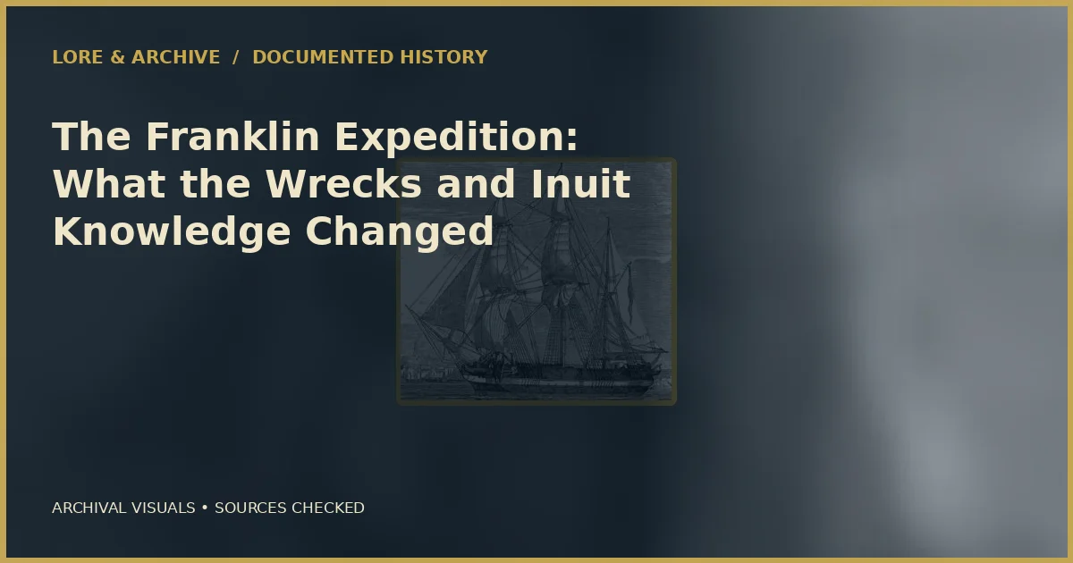
The expedition left one brief written record and a landscape of artifacts, graves, and testimony. Its rediscovered ships did not solve every death, but they overturned assumptions about where the final story unfolded.
Archive record
- Departed Britain: May 1845
- Ships: HMS Erebus and HMS Terror
- People lost: 129 officers and men
- Wrecks found: Erebus in 2014; Terror in 2016
Two reinforced ships sail north
Sir John Franklin led a Royal Navy expedition to complete the Northwest Passage. Erebus and Terror were veteran polar ships, reinforced for ice and fitted with steam engines, heating, and provisions expected to last years. The expedition was technologically ambitious and culturally confident. It entered Baffin Bay in 1845 and disappeared from European view.
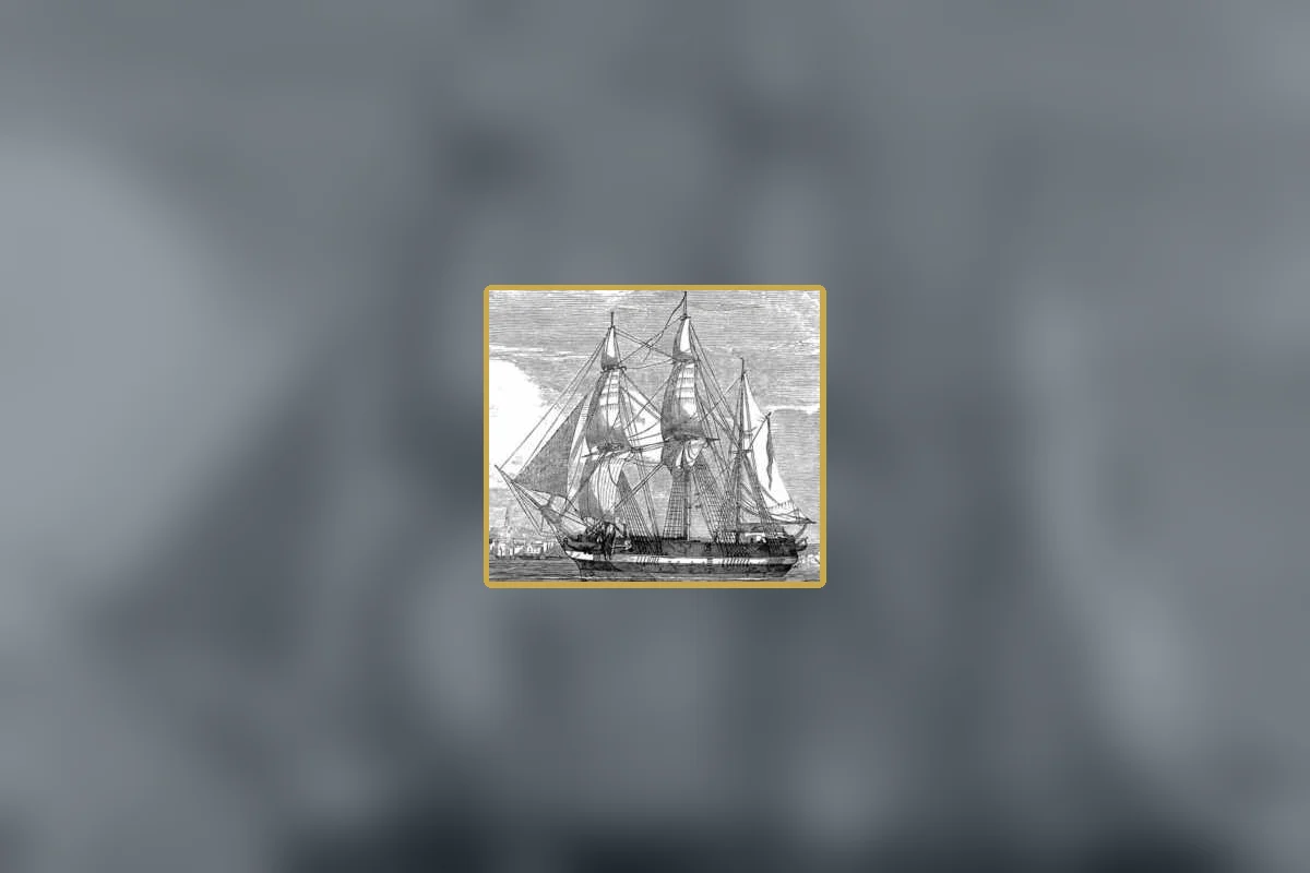
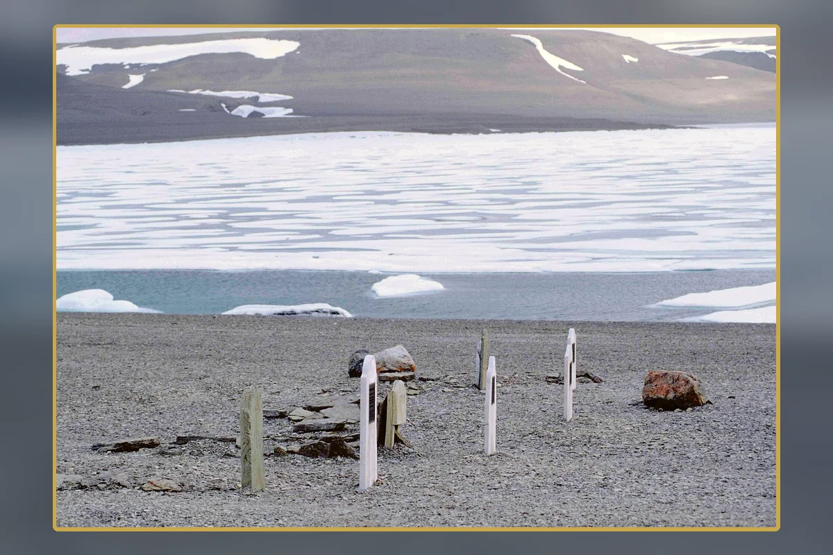
Later searches found three graves on Beechey Island, showing that the first winter had already cost lives. The ships then became trapped off King William Island. A message deposited at Victory Point recorded that Franklin died in June 1847 and that the 105 surviving men abandoned the ships in April 1848.
The single note and its terrible revision
The Victory Point record began with an earlier, optimistic message stating that all was well. A later marginal update transformed the same sheet into evidence of disaster: ships beset since September 1846, 24 dead, command passed to Francis Crozier, and survivors setting out toward the Back River.
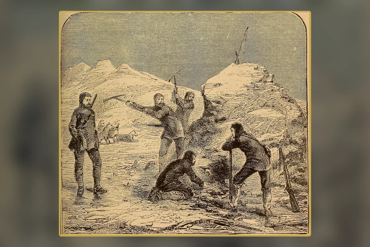
The note is indispensable but incomplete. It does not explain the growing death toll, why the ships were abandoned where they were, or what happened after the march began. Searchers had to combine it with scattered remains, camps, altered objects, boat equipment, and Inuit accounts of encounters and ships.
Testimony outsiders too often treated as folklore
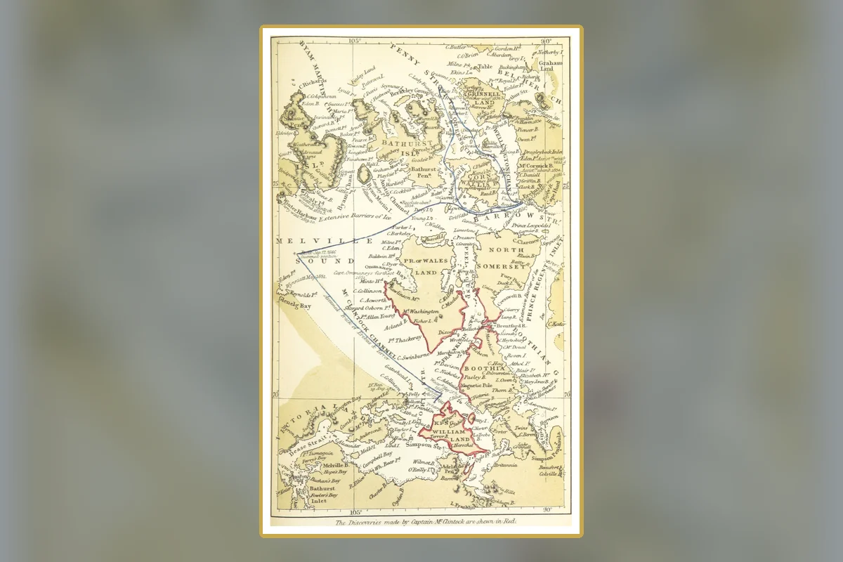
Inuit witnesses and oral histories described starving men, a ship sinking in one area, and another vessel seen farther south. Nineteenth-century searchers collected some testimony but filtered it through translation, prejudice, and an assumption that Royal Navy paperwork was superior evidence. Reports of cannibalism provoked particular outrage in Britain, despite later physical findings supporting that desperate behavior.
The eventual wreck locations demonstrated the cost of dismissing local knowledge. Inuit geographic information, accumulated across generations and carried into modern searches, helped direct Parks Canada and partners. The story is not that a modern expedition solved an empty map; it is that archaeology finally converged with knowledge already rooted in the region.
Erebus and Terror return to the map
In 2014, searchers located Erebus in the eastern Queen Maud Gulf. Two years later, Terror was found in exceptionally intact condition in Terror Bay. The sites were farther south than many earlier models had placed the ships, raising questions about whether one or both vessels were re-manned and moved after the official abandonment.
Underwater archaeology has documented cabins, equipment, tableware, scientific instruments, and personal objects. Cold water and protective conditions preserve extraordinary detail, but excavation is slow and carefully governed. Artifacts acquire meaning through their precise location and relationship to the ship, not simply by being lifted to the surface.
What caused the catastrophe?
Scurvy, tuberculosis, pneumonia, lead exposure, food quality, starvation, cold, and exhaustion have all been investigated. Lead levels in human remains attracted dramatic claims that contaminated tins or the ships' water systems poisoned the crew. Later research complicated that account: lead exposure was common in the period, and measured levels do not alone establish fatal impairment.
No single diagnosis explains every stage. Prolonged ice entrapment disrupted the expedition's schedule; deaths reduced capacity; nutrition and illness worsened; then a long overland retreat demanded enormous energy from already weakened men. The strongest model is cumulative failure rather than one hidden toxin.
A mystery now shared differently
Canada and Inuit partners co-manage the Wrecks of HMS Erebus and HMS Terror National Historic Site. Ownership and stewardship arrangements recognize Inuit rights and the central role of Inuit knowledge. That governance is part of the historical correction, not an administrative footnote.
The wrecks may eventually yield documents or physical clues about the final months aboard. They are unlikely to reduce 129 lives to one neat cause. The expedition now reads less like a blank Arctic disappearance and more like an evidence network: naval records, oral history, archaeology, human remains, environment, and decisions made under compounding stress.
What the record supports—and what it does not
The Franklin Expedition was not a mystery with no witnesses and no clues. Inuit testimony long preserved information about the men and ships, even when outsiders undervalued it. Nor does one fashionable cause—especially lead poisoning—explain the entire disaster. The record supports a cascading crisis shaped by ice, disease, nutrition, and exhaustion.
Evidence ledger
- EXPEDITION — 129 people, two ships: Erebus and Terror entered the Arctic in 1845 and never returned.
- DOCUMENT — One note, updated in the margin: The Victory Point record reports Franklin's death and the ships' 1848 abandonment.
- KNOWLEDGE — Inuit testimony held the geography: Oral histories described ships and encounters that later searches could test.
- DISCOVERY — Erebus 2014; Terror 2016: The wreck locations challenged long-standing assumptions about the final route.
- MYTH CHECK — No single poison explains it: Lead is one investigated factor within a broader cascade of ice, illness, and hunger.
- STEWARDSHIP — Evidence has living custodians: The historic site is co-managed with Inuit partners whose knowledge was essential.
How this reconstruction was built
Franklin evidence is deliberately plural: the Victory Point note, graves and human remains, artifacts, ship archaeology, environmental data, and Inuit testimony. No category should be forced to speak alone. The wreck locations strengthened accounts that outsiders once discounted and reopened the possibility that ships moved after abandonment. Medical findings can identify stresses without reducing the expedition to one toxin or diagnosis.
To audit the account, open the source links below and compare dates, quantities, and the wording used by the institutions themselves. Look for the earliest recoverable record, then distinguish it from later summaries created after the story became famous. The five visuals in this article are archival photographs, maps, documents, objects, or clearly identified editorial diagrams selected to illuminate the surviving record. Each caption identifies its source and rights information; no reconstruction is presented as a historical photograph. That transparency is part of the Lore & Archive method.
Why this story matters
The discoveries changed more than coordinates. They showed that who is recognized as a keeper of evidence matters. Reading documents, archaeology, and Inuit knowledge together produces a fuller account than treating a Royal Navy note as the only authoritative voice.
Continue in the archive
- The Tunguska Event: What Exploded Above Siberia in 1908?
- Roman Dodecahedrons: The Ancient Objects With No Agreed Purpose
- Mary Celeste: What the Evidence Says
Sources and further reading
- Parks Canada — Confirmation of HMS Terror and Inuit partnership
- Parks Canada — Archaeological search
- Parks Canada — Franklin artifacts
Editorial note: Lore & Archive distinguishes contemporary evidence, later institutional synthesis, and unresolved inference. Where sources disagree or the record is incomplete, the uncertainty is stated rather than converted into a dramatic fact.