The most repeated explanation—a simple map-coordinate error—is less certain than the internet suggests. The physical sequence is extraordinary enough without pretending investigators proved exactly who misplaced the drill.
Archive record
- Date: November 20, 1980
- Place: Lake Peigneur, Louisiana
- Industry: oil exploration above a salt mine
- Human deaths: none
The drilling rig begins to tilt
A Texaco-contracted crew was drilling an exploratory well from a platform on Lake Peigneur when the drill became stuck and the rig began listing. Workers evacuated. The platform soon disappeared into water that was no longer behaving like a shallow lake.
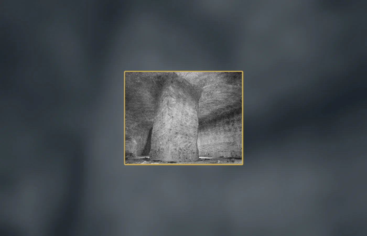
Below lay the Jefferson Island salt mine, a network of large excavated chambers supported by salt pillars. Water entering the mine dissolved salt and enlarged its path. The process accelerated: a leak became an inrush, and the lake became the reservoir feeding it.
A lake turns into a drain
A whirlpool pulled in the drilling platform, barges, a tugboat, docks, trees, vehicles, and parts of Jefferson Island. Air displaced from the mine erupted through shafts with water and debris. The lake, previously only about ten feet deep in many places, changed shape dramatically.
All fifty-five miners underground escaped through the mine's single elevator, and the drilling crew also reached safety. The absence of human deaths is one of the event's least believable facts and one of its best documented. Training, rapid warning, and orderly evacuation prevented a mechanical disaster from becoming a mass-casualty one.
The canal reverses and creates a waterfall
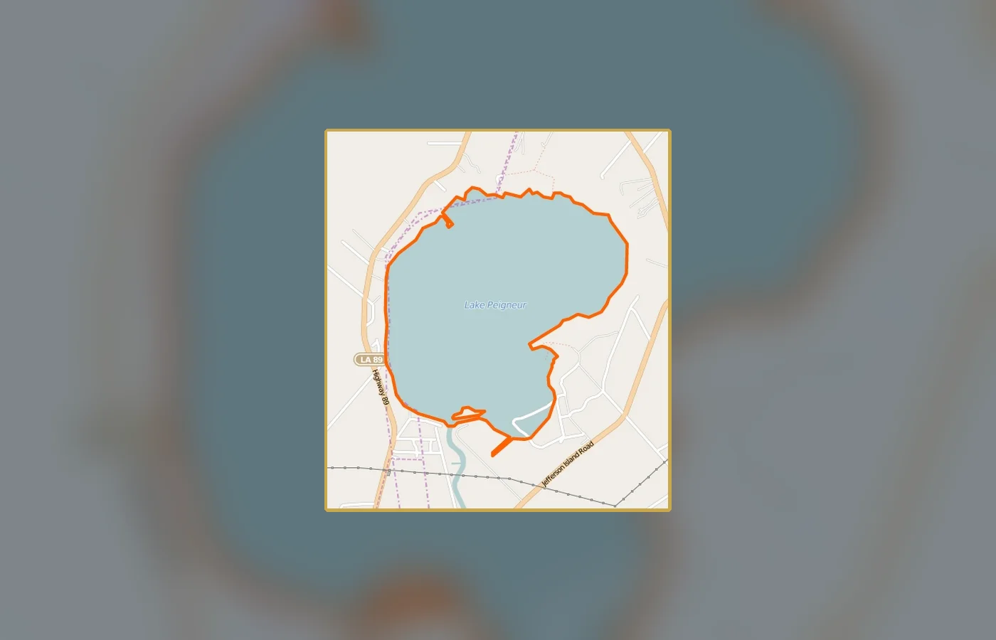
As Lake Peigneur drained, water from the Delcambre Canal began flowing backward from Vermilion Bay toward the emptying basin. For a time, the reversed flow created what is often described as Louisiana's tallest waterfall. Salt water replaced much of the lost fresh water and permanently altered the lake's depth and ecology.
Once underground spaces filled and pressures stabilized, the direction and level normalized. Days later, nine of the eleven barges that had been pulled down resurfaced. Their reappearance reinforced the event's surreal reputation, but it followed ordinary buoyancy after the violent current subsided.
Did the drill hit the wrong coordinates?
Many retellings state that a coordinate-system mistake placed the well over the mine. The official investigation could not conclusively determine whether the drill location, mine maps, underground geometry, or a combination caused the penetration. Physical evidence had been destroyed or submerged.
The safest conclusion is that drilling opened a connection into the mine, not that one neat clerical error was proved. Litigation ended in settlements rather than a public trial establishing a single technical cause. Precision about uncertainty prevents a good story from becoming a false engineering parable.
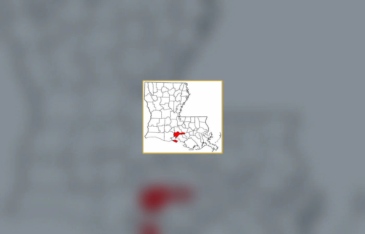
What changed below an ordinary-looking surface
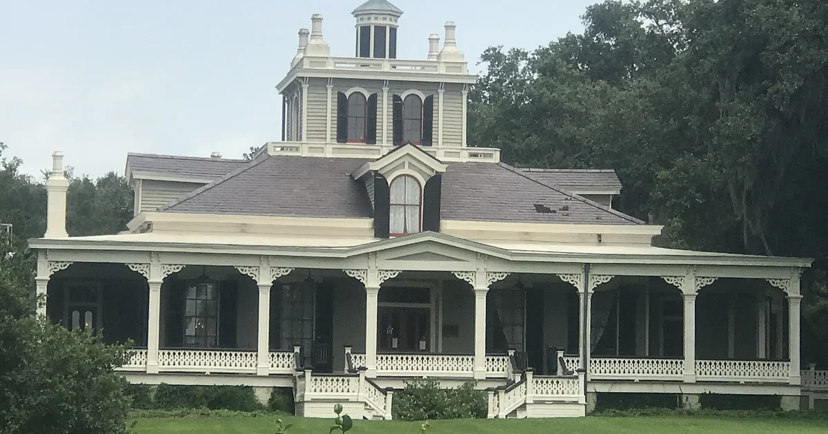
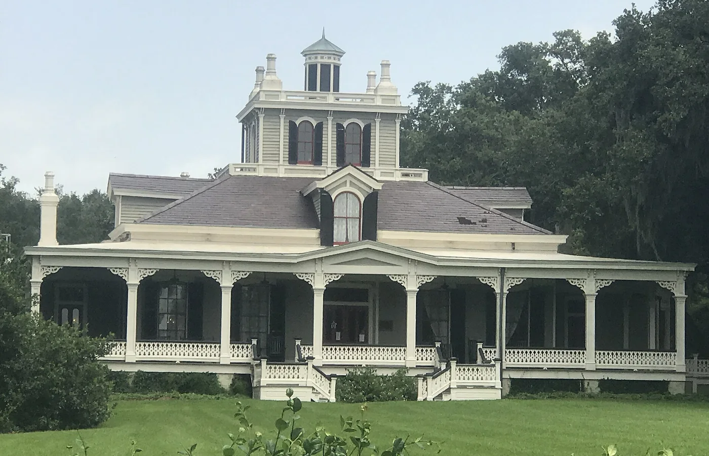
Lake Peigneur is now much deeper and brackish. A visitor looking across the water may see little that conveys the scale of the underground void or the speed of the 1980 transformation. The calm surface is the final stage of a new hydraulic system created in hours.
The enduring lesson is about layered land use. Oil exploration, salt mining, navigation, gardens, and communities occupied the same vertical space while relying on maps and assumptions created by different operators. A small connection between those layers was enough to reorganize the landscape.
What the record supports—and what it does not
The drilling operation did open a path into the salt mine, but investigators did not conclusively prove the popular story of a single coordinate-conversion mistake. The spectacular physical sequence and successful evacuation are documented; the allocation of technical blame is less certain.
Evidence ledger
- TRIGGER — Water entered a salt mine: Fresh water dissolved and enlarged the opening.
- WHIRLPOOL — Rig, barges, and land vanished: The lake drained into underground chambers.
- ESCAPE — Fifty-five miners survived: Workers used the mine's elevator before flooding overwhelmed it.
- REVERSAL — The canal flowed backward: Water from Vermilion Bay refilled the basin.
- RETURN — Nine barges resurfaced: Buoyancy brought them back after currents stabilized.
- UNCERTAINTY — No single mapping error proved: The official record could not assign a neat technical cause.
How this reconstruction was checked
This reconstruction begins with Mine Safety and Health Administration — Jefferson Island Mine inundation, Louisiana State University — Geology behind Lake Peigneur, Houston Geological Society — Jefferson Island mine inundation. Those records establish the dates, people, objects, and institutional findings used above. Later retellings are useful only when they can be traced back to that record. A repeated anecdote is not treated as independent confirmation simply because it appears on several websites.
The unresolved question is kept separate from the documented mechanism. In this case, the evidence supports the following boundary: The drilling operation did open a path into the salt mine, but investigators did not conclusively prove the popular story of a single coordinate-conversion mistake. The spectacular physical sequence and successful evacuation are documented; the allocation of technical blame is less certain. The purpose of that boundary is not to flatten the mystery. It prevents a vivid but unsupported detail from displacing the evidence that makes the story worth reading.
Every visual is either a historical photograph, document, map, object, site image, or an explicitly labeled contextual comparison. Captions identify the source and license. No AI reconstruction and no text-poster image is presented as historical evidence; the featured image is derived directly from the first archival visual without a headline overlay.
Why this story matters
Lake Peigneur is a natural high-retention story with a responsible correction built in. It gives readers a whirlpool and reversed waterfall, then rewards them with an evidence-based explanation of what is still unknown.
Continue in the archive
- The Great Molasses Flood: The Warning Sounds Boston Was Told to Ignore
- The Tybee Bomb: What Happened to the Nuclear Weapon Lost Off Georgia
- The Halifax Explosion
Sources and further reading
- Mine Safety and Health Administration — Jefferson Island Mine inundation
- Louisiana State University — Geology behind Lake Peigneur
- Houston Geological Society — Jefferson Island mine inundation
Editorial note: Lore & Archive separates contemporary records, later institutional synthesis, and unresolved inference. When sources disagree or the archive is incomplete, the uncertainty is stated rather than converted into a dramatic fact.